Indira Gandhi Canal (Rajasthan Canal)
Subject: Geography | Irrigation | Water Resources
Why is it Important?
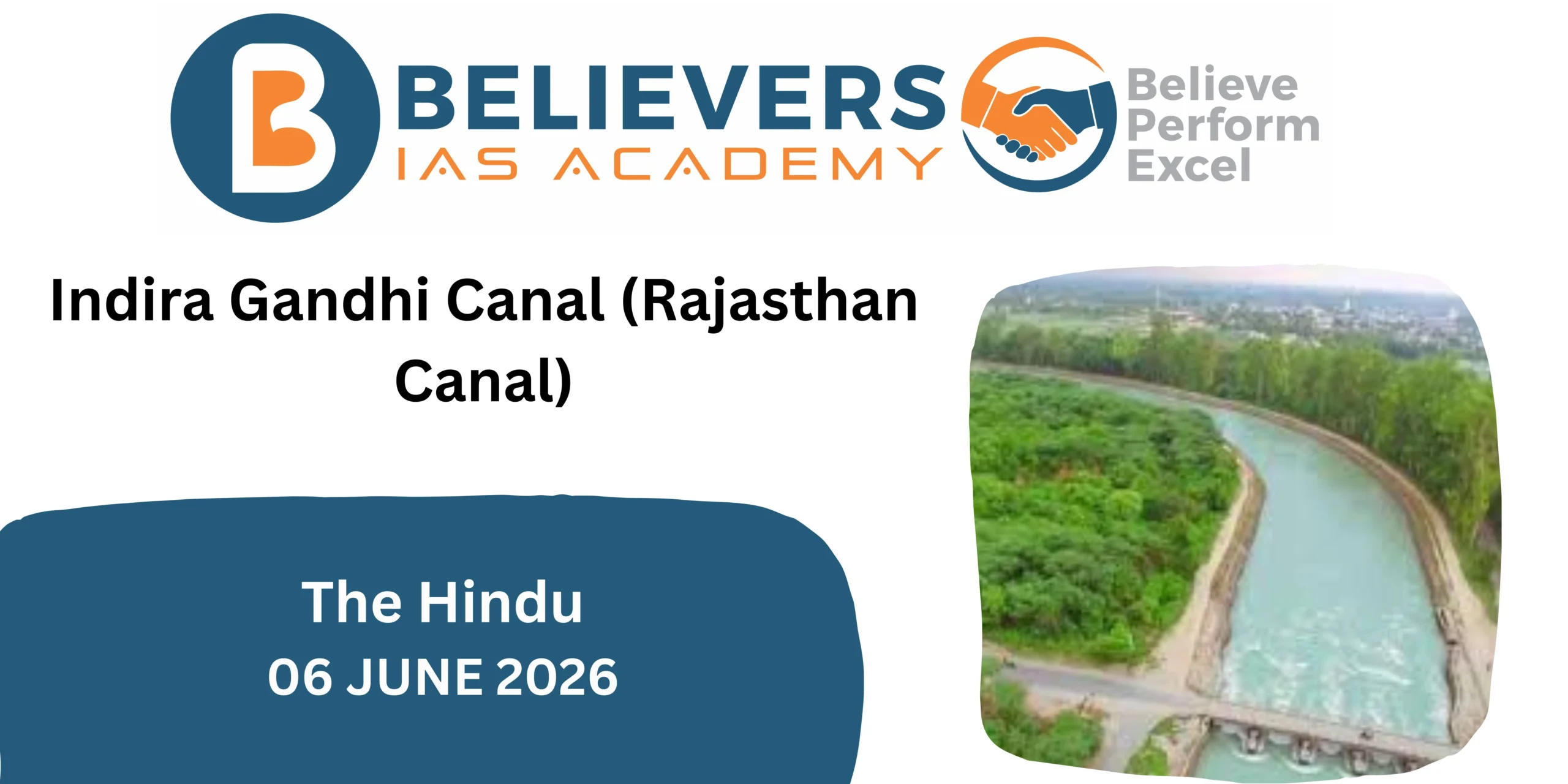
The Indira Gandhi Canal (IGNP) is the longest canal in India and one of the world’s largest irrigation projects. It has transformed vast stretches of the arid Thar Desert into agriculturally productive land, earning the title “Lifeline of Rajasthan.”
Location and Course

Origin
The canal originates from the Harike Barrage located near Harike in Punjab.
The barrage is situated just downstream of the confluence of:
- Sutlej River
- Beas River
Termination
The canal extends deep into the Thar Desert of northwestern Rajasthan and supplies water for irrigation, drinking purposes, and livestock needs.
Length and Components
Total Length : 649 km
Major Components
| Component | Description |
|---|---|
| Rajasthan Feeder Canal | Carries water from Harike Barrage towards Rajasthan |
| Rajasthan Main Canal | Main distribution canal within Rajasthan |
State-wise Distribution
| State | Length |
|---|---|
| Punjab & Haryana | 167 km |
| Rajasthan | 492 km |
| Total | 649 km |
Historical Background
Genesis of the Project
Before Independence:
- Western Rajasthan suffered from:
- Scarcity of water
- Frequent droughts
- Desertification
- Low agricultural productivity
Following the partition of India in 1947:
- Water-sharing arrangements under the Indus Waters Treaty enabled India to utilize waters of the eastern rivers:
- Ravi
- Beas
- Sutlej
This provided the foundation for a major desert irrigation project.
Significance of the Canal
1. Agricultural Transformation
Before the canal:
- Rainfed agriculture
- Frequent crop failures
After the canal:
- Expansion of irrigated farming
- Cultivation of:
- Wheat
- Mustard
- Cotton
- Groundnut
- Fodder crops
2. Desert Development
The project has:
- Reduced desert expansion.
- Stabilized sand dunes.
- Encouraged afforestation.
- Improved soil moisture.
3. Drinking Water Supply
Provides drinking water to:
- Urban settlements
- Rural villages
- Border areas of Rajasthan
4. Livestock Development
Supports:
- Dairy farming
- Cattle rearing
- Sheep husbandry
which are important livelihoods in western Rajasthan.
5. Strategic Importance
The canal serves districts near the India–Pakistan border, improving:
- Human settlement
- Infrastructure development
- Border area resilience
Challenges Associated with the Canal
Waterlogging
Excessive irrigation has raised groundwater levels in some regions.
Effects
- Reduced soil productivity
- Damage to crops
Soil Salinity
Evaporation in arid regions causes accumulation of salts on the soil surface.
Consequences
- Land degradation
- Lower agricultural yields
Ecological Changes
- Alteration of desert ecosystems.
- Impact on native flora and fauna.
- Spread of invasive species.
Dependence on River Water
The canal relies heavily on waters of:
- Sutlej
- Beas
Changes in river flows due to climate variability can affect water availability.
Mapping Points for UPSC
Rivers Involved
- Sutlej River
- Beas River
Important Locations
- Harike Barrage
- Punjab
- Haryana
- Rajasthan
- Thar Desert
- Indira Point (Not related to the canal; avoid confusion with the name Indira Gandhi.
Related Posts


Biodiversity Ordered by Hidden Pattern
Posted on
